UPDATED: The Coastal Protection and Restoration Authority (CPRA) has recently updated their Flood Risk and Resilience Viewer, now known as their Master Plan Data viewer, which displays information on coastal land change, flood risk, and impacts to communities. This innovative online-tool provides residents with access to the state’s best information about how Louisiana’s coast may change in the future, as well as resources to make communities and properties safer.
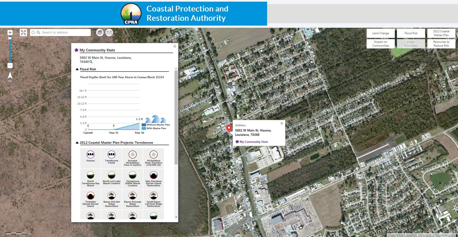
The viewer uses data that was produced for the 2017 Coastal Master Plan and shows land loss and flood risk across the coast for the current day as well as 50 years into the future. Also displayed are the 2017 Coastal Master Plan protection and restoration projects that provide land building and risk reduction benefits across the coast. This information can be used by state agencies, coastal stakeholders, and community advocates in coastal planning and hazard mitigation efforts. In addition, a variety of resources are provided to enable homeowners and business owners to take steps towards reducing their flood risk.
To learn more and explore the viewer, visit:
http://cims.coastal.louisiana.gov/floodrisk/
Master Plan Data Viewer FAQs: